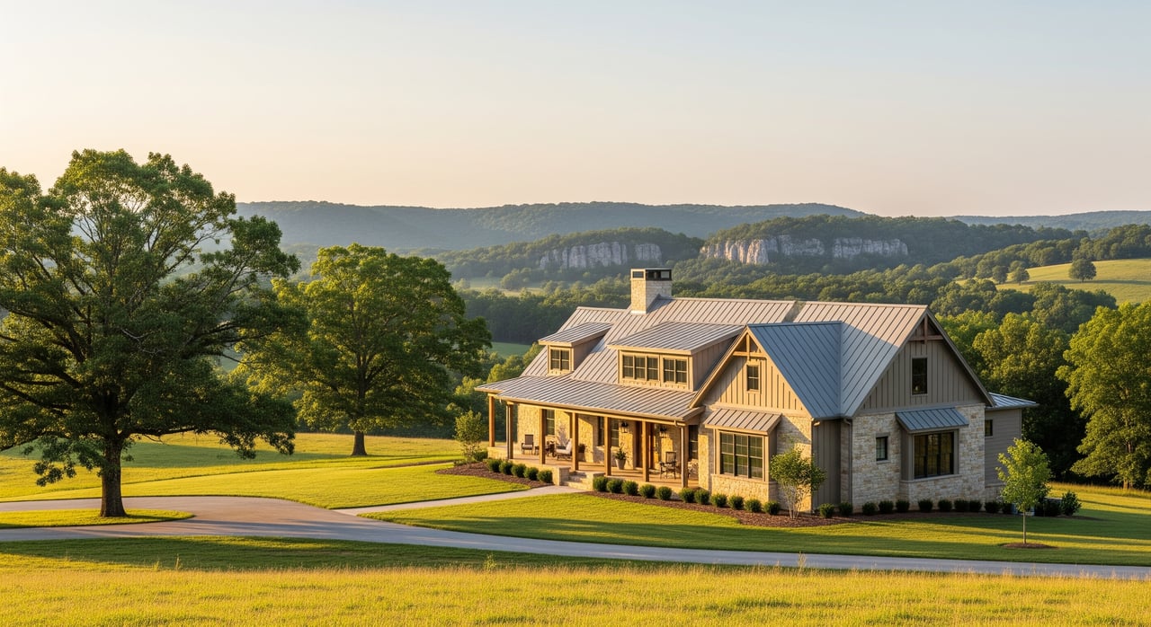
Buying or selling acreage in Fentress County and feeling lost in the deed language? You are not alone. Many rural properties use metes-and-bounds descriptions that look technical at first glance. This guide breaks that language into simple steps, shows you where to find the right records, and outlines practical checks that prevent surprises at closing. Let’s dive in.
Metes and bounds, made simple
Metes and bounds is a way to describe land by walking the boundary in order. The description starts at a Point of Beginning (POB), then lists each boundary segment, called calls, by direction and distance. Good descriptions also reference monuments on the ground, like iron pins or stones, and often name adjoining owners.
If the description “closes,” the last call returns to the starting point. The POB, calls, distances and monuments together form the legal boundary for the parcel.
Key parts of a description
- Point of Beginning (POB): The unique starting corner that the description returns to at the end.
- Calls: Each line segment with a direction and distance. Example format: N 45°30'00" W 250.00 ft.
- Bearings or courses: Directions referenced to a north line. Modern surveys state the reference used. Older deeds may not.
- Monuments: Physical markers a call runs to or along. Examples include iron pins, pipes, stones, fence corners, road centerlines, or creeks.
- Adjoining calls: Many descriptions identify corners or lines by referencing a neighbor’s boundary.
Where records live in Fentress County
The Register of Deeds is the primary source for recorded deeds and plats. The Property Assessor/Tax Office maintains parcel IDs, tax maps and assessed acreage. County GIS or parcel viewers can help you orient yourself, but those maps are only interpretations. The deed’s metes-and-bounds text is the legal description, and a licensed surveyor is the professional who retraces that description on the ground.
Bearings, datums and units
Modern surveys in Tennessee commonly state a bearing reference such as true north, magnetic north or grid north, along with a datum like NAD83. Distances are usually in feet. Older deeds might use chains or rods, or they might rely on magnetic compass headings from the time. Conversions and compass differences are common reasons an updated survey is needed.
Common monument language
You will see phrases like:
- “To an iron pin set” or “to a 1/2" iron pipe.”
- “To a stone” or “to a rock” or “to a stake and stones.”
- “Along the centerline of County Road …” or “to the center of the creek.”
- “With the fence” or “to the old field corner.”
Monuments carry a lot of weight when courses and distances do not perfectly match what you find in the field. Natural monuments and well-documented artificial monuments often guide how a surveyor retraces a boundary.
Why older deeds can be tricky
Older descriptions may not state the bearing reference or datum. They might rely on a tree, stump or fence that is long gone. Some call to neighbors by name from decades ago, which requires checking the chain of title to see who now owns the adjoining tract. When conflicts arise, surveyors weigh the best available evidence on the ground, reliable prior surveys and the intent shown in the recorded documents. An updated survey is often the cleanest way to resolve ambiguity.
Local surprises to watch for
- Missing or moved monuments: Iron pins rust out and trees disappear, creating uncertainty.
- Name changes in chains of title: Calls like “with John Smith’s line” require research to identify the current neighbor and any newer surveys.
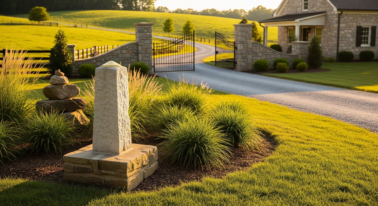
- Access questions: A road on a map may be a private path. Verify deeded or recorded easements and whether a road is public under county maintenance.
- Acreage discrepancies: Deed acreage, assessor acreage and as-surveyed acreage often differ. Do not rely on tax acreage for legal boundary.
- Encroachments: Fences, sheds, driveways and septic systems sometimes cross lines if built without a survey.
- Easements and reservations: Utility, pipeline or road easements, plus mineral or timber reservations, may affect use and value.
- Environmental constraints: Streams, wetlands and floodplain may limit building or drive permitting. Parcels near federally or state-managed areas can have additional considerations.
- Rural infrastructure: Wells, septic fields, utilities and driveways often rely on recorded access. Confirm locations and easements.
Do this before you close
Use this practical checklist to protect your investment:
- Order a current boundary survey: Hire a licensed Tennessee Professional Land Surveyor for a boundary or retracement survey. Ask for the datum, bearing reference and all monuments to be shown and labeled on the map.
- Consider the right survey scope: For complex tracts or lender-required detail, consider an ALTA/NSPS Land Title Survey that also shows easements, improvements and utilities.
- Review title and recorded documents: Obtain a title commitment or abstract. Read all exceptions. Search the Register of Deeds for easements, plats, covenants, mineral or timber reservations and any suits or liens that affect boundary or use.
- Confirm access and right of way: Determine if access is by public road, recorded easement or only by an unrecorded path. Check county road orders and maintenance records if needed.
- Check environmental and hazard maps: Review FEMA flood maps. If wetlands or soil limitations are suspected, consider soils information or a wetlands evaluation.
- Verify utilities and services: Confirm locations and easements for power, water, telecom, septic and wells, and whether new easements are needed.
- Protect new monuments: If new pins are set, consider contract language to preserve them and deter removal.
- Consider title insurance: Owner’s and lender’s title insurance can help protect against hidden defects. Review any boundary or access-related exceptions closely.
Survey types, at a glance
- Boundary or retracement survey: Determines the legal boundary and locates monuments. This is the standard for metes-and-bounds parcels.
- ALTA/NSPS Land Title Survey: A comprehensive option for large or complex tracts that also maps easements, utilities and improvements to current standards.
- Topographic survey: Adds contours and site features for planning. Not a substitute for boundary determination.
- Mortgage survey: Lender-focused scope that shows structures relative to the boundary. Detail varies by job.
- Construction staking: Precisely sets locations for proposed structures.
How conflicts get resolved
The first step is surveyor-based resolution. A licensed surveyor reviews the chain of title, searches for monuments, measures and applies accepted principles to retrace the lines. If uncertainty remains, title professionals or attorneys may address it through curative actions like boundary line agreements or quiet title suits. Most disputes are avoided when you start with an up-to-date survey and the right title insurance.
A simple example to practice
Below is a fictional example to show how calls and corners work.
  North
    ^
    |
C4  |--------------------C1
    |                    |
    |                    |  (Call A: N 00°30'00" E 660.00 ft)
    |                    |
C3  |--------------------C2
    |
  POB (Point of Beginning)
Example text: “Beginning at an iron pin at the southwest corner of Lot 12 (POB); thence N 00°30'00" E 660.00 feet to an iron pin (Corner C1); thence S 89°45'00" E 330.00 feet to an iron pin (Corner C2); thence S 00°30'00" W 660.00 feet to an iron pin (Corner C3); thence N 89°45'00" W 330.00 feet to the point of beginning.”
How to read it:
- Each call gives a direction and distance and ends at a monument or corner.
- The last call returns to the POB, so the description “closes.”
- On a modern survey, you should also see the bearing reference, datum and monument types.
Work with a local guide
You do not need to become a survey expert to buy or sell land in Fentress County. You do need the right process, the right survey and the right team to coordinate title, access and easements. If you are weighing survey options, hunting down a deed description, or want a second set of eyes on access and acreage, reach out to a trusted local pro. Connect with Lisa Ann Garrett -Mitchell Real Estate & Auction Co., LLC for clear next steps, local surveyor and title introductions, and a plan that gets you to a smooth closing.
FAQs
What is a metes-and-bounds description in Tennessee?
- It is a legal description that starts at a Point of Beginning and lists boundary segments by direction and distance, often referencing physical monuments, until returning to the start.
Where do I find my deed description in Fentress County?
- Look to the Register of Deeds for recorded deeds and plats; the Property Assessor provides parcel IDs and tax maps for reference, but the deed text controls the legal boundary.
Are county GIS parcel lines my legal boundary?
- No. GIS lines are helpful for orientation, but the deed’s metes-and-bounds description is the legal boundary, and a licensed survey retraces it on the ground.
Why does my tax acreage differ from my deed or survey?
- Assessor acreage is for tax purposes and can differ from deed acreage or a modern as-surveyed acreage. A current boundary survey provides the best field determination.
Which survey should I order for rural acreage?
- Most buyers use a boundary or retracement survey. For complex tracts or lender requirements, consider an ALTA/NSPS Land Title Survey that also maps easements and improvements.
How do I confirm legal access to a landlocked parcel?
- Verify whether access is by public road, recorded easement or only by an unrecorded path. Check county road orders and maintenance records when needed, and ensure access is documented before closing.